
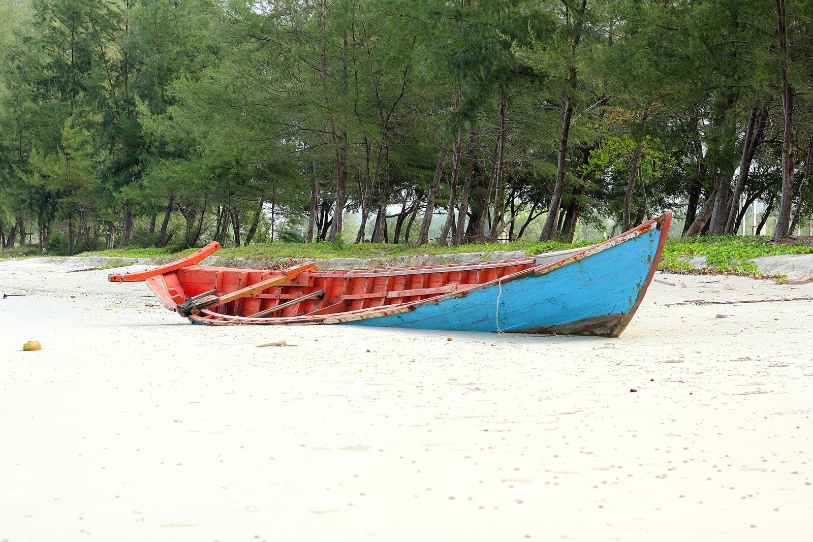
Trapeng Sanker Mangrove Site
An attraction (attraction) in Kampot, Cambodia. One of 124 things to see & do entries mapped in the province.
Details
- Category
- Things to see & do
- Place type
- attraction
- Province
- Kampot (718 mapped places)
- Coordinates
- 10.56924, 104.24153
About Trapeng Sanker Mangrove Site
Trapeng Sanker Mangrove Site is a attraction in Kampot, Cambodia — one of 124 things to see and do we map across the province, and part of a wider dataset of 718 mapped locations in Kampot. In Khmer it would be described as កន្លែងទេសចរណ៍នៅកំពត. It sits at 10.56924, 104.24153, which is the coordinate any Cambodian tuk-tuk or PassApp driver can be shown directly if the name is unfamiliar to them.
As a attraction, it serves both residents and visitors passing through Kampot. It maintains an official website, which is the best place to confirm current prices and opening times before you travel.
How to get to Trapeng Sanker Mangrove Site in Kampot
The easiest way to find Trapeng Sanker Mangrove Site is by nearby landmarks. It lies roughly 2.2 km west of Kampot International Tourism Port, and about 2.3 km north-east of Tela Fuel Station, with Temple a further 3.3 km east. Drivers in Kampot usually navigate by these anchors rather than street numbers, so naming the closest one gets you there faster than an address.
From the centre of Kampot, a tuk-tuk or PassApp ride is the standard way to arrive; short in-town trips generally cost US$1 to US$3, and longer provincial runs are worth agreeing in advance. Rented motorbikes are widely available from guesthouses, and self-driving is realistic on sealed roads in the dry season — less so between June and October, when heavy afternoon rain floods side streets and unpaved approaches. The "Get directions" link on this page opens the exact coordinates in Google Maps for turn-by-turn navigation.
Visiting Trapeng Sanker Mangrove Site: hours, tickets and what to expect
Trapeng Sanker Mangrove Site is recorded as a attraction in Kampot. Sites of this kind are generally open through daylight hours, roughly 7am or 8am until 5pm or 6pm, with the best light and the coolest temperatures early in the morning and in the last hour before sunset. Entry is often free at local temples and viewpoints; museums, managed parks and ticketed heritage sites charge from a couple of dollars up to the Angkor pass prices in Siem Reap.
Dress modestly if the site is religious — shoulders and knees covered, shoes off inside prayer halls — and carry water, since shade and shops can be scarce. Photography is normally welcome outdoors but restricted inside shrines and galleries. Weekends and Cambodian public holidays are the busiest times, so a weekday visit means fewer crowds and easier parking.
What else is near Trapeng Sanker Mangrove Site
Trapeng Sanker Mangrove Site is not isolated: our map records 8 other mapped locations within a short ride, including Kampot International Tourism Port (ferry terminal, 2.2 km west), Tela Fuel Station (fuel, 2.3 km north-east), Temple (place of worship, 3.3 km east), Man Groove (guest house, 4.1 km north). Pairing a visit here with one or two of those makes a more efficient half-day, especially if you are paying a driver by the trip rather than by the hour.
Nearby places in Kampot
- Kampot International Tourism Portferry terminal· 2.2 km away
- Tela Fuel Stationfuel· 2.3 km away
- Templeplace of worship· 3.3 km away
- Man Grooveguest house· 4.1 km away
- Telafuel· 5.3 km away
- Asia Imbissfast food· 5.4 km away
- Telafuel· 5.4 km away
- Gendarmerie Royale Kampotpolice· 5.6 km away
More things to see & do in Kampot
Place data from OpenStreetMap contributors (ODbL). Details may change — check locally before travelling.